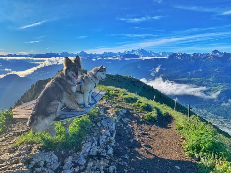
With your dog

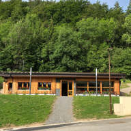
"Since 2021, Môle et Brasses tourisme has been awarded the Toutourisme label! This means that here we say 'welcome' to animals and that lots of activities are possible with them!

A special welcome with a welcome kit is reserved for all owners directly at the tourist office!"
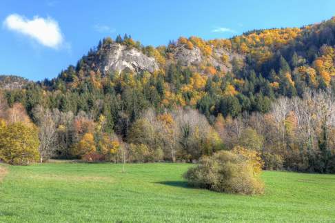
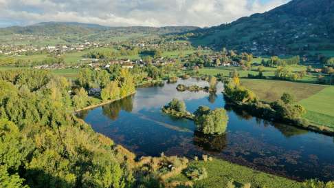
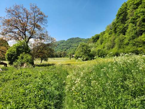
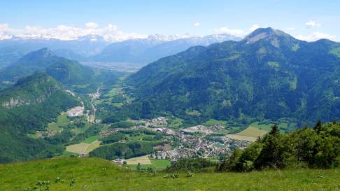
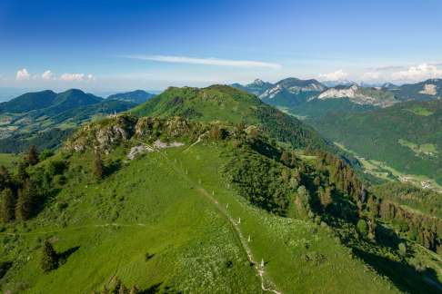
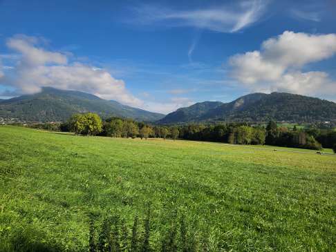
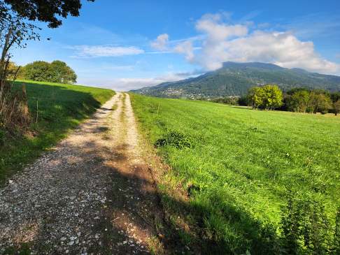
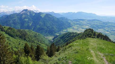
Walking routes

Nature walks are great, but with your dog it's even better! Here are all our walking itineraries where your dog can enjoy the fresh air without any worries!
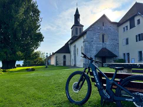
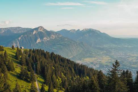
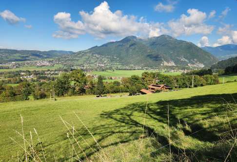
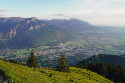
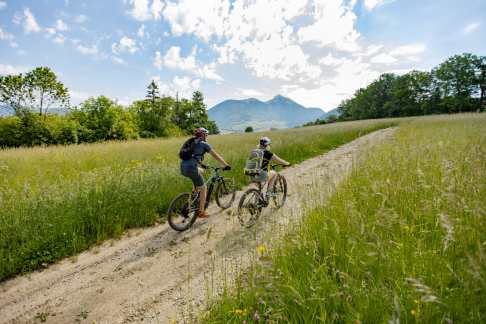
Hiking
Hiking trail - The summits of Ecutieux and Môle

Stage 1 : Tête de l'Écutieux (1,627 m) – a wild warm-up : The hike starts from the hamlet of Chez Béroud, in the village of Saint-Jean-de-Tholome. A balcony trail gently leads you through woods, clearings, and pastures. The ascent of Tête de l’Écutieux takes place in a peaceful, shaded setting, with beautiful views of the Arve Valley. Stage 2 : Le Môle (1863m) – the panoramic apotheosis : From the Tête de l'Écutieux, a ridge trail leads to the slopes of Le Môle. The atmosphere gradually changes : the terrain becomes more open, the climb steeper, the horizons wider, and the view increasingly spectacular. The final steeper ascent of Le Môle rewards you with an exceptional 360° panorama of the Alpine massifs : Mont Blanc, Aravis, Chablais, Jura... a veritable natural orientation table ! Step-by-step guide available by clicking on the printer icon.

Hiking
Hiking, horse riding and mountain biking trails - Les Balcons des Grands Prés

For the more sporty, the long loop represents 6 hours of hiking along the villages of the four rivers. You will enjoy an exceptional panorama with several viewpoints on the Massif des Brasses, the Massif des Voirons, Mont Vouan and even the Geneva basin and Lake Geneva! You will cross the natural area of the Môle, learn about the fauna and flora of our meadows... And why not take a cultural break at the Château de Faucigny or the Prieuré de Peillonnex? With the Peillonnex riding school, you have the possibility of taking pony rides, gallop training courses or even horseback riding. Translated with www.DeepL.com/Translator (free version)

#hiking
MTB
Les Chaix Hike and Mountain Bike Trail

Duration: 2.5 hours Difference in altitude: +150m Altitude at start point: 910m Altitude at end point: 1060m Map reference: IGN TOP 25 - 3429 ET

#cycling
Hiking
Hiking trail - L'herbette from Pouilly

#hiking
Hiking
Hiking trail - Alpine pasture secrets

During the first Plaine-Joux Plateau Sculpture Symposium in July 2012, four sculptors traveled to the plateau to work on their masterpieces, chiseling, polishing, and bringing them to life... in monolithic blocks of marble limestone placed 100 meters apart from each others. Roger Dunoyer's project: He began his work on the first block, whose meteorite shape inevitably suggested to him the birth of the world. A shooting star and its light cross the surface of the block, ending up at the center of the earth to put down a human fetus. Janpol's project: Since it was discovered X million years ago in the Baré cave, Janpol worked on a rock with a cave cat skull where it lived during the Paleolithic era, and on the second rock, a few engravings (in relief) that lead us to this more recent ancestor, the Homo sapiens. Isabelle Milleret's project: Her work was to highlight the symbolism of a place like Plaine-Joux : to create a crossroads in the form of a star or intersection of lines. Eventually indicating the north-south and east-west axes (compass rose) or the location of the four surrounding municipalities (Bogève, Mégevette, Onnion, Villard). Yann Narzabal's project: His work consists of expressing the sedentarization and settlement of humans from ancient times to the present day : the era when humans acquired the knowledge and techniques to build their homes as we know them today in the traditional architecture of our region. Carving a block of stone into a work of art, a phenomenal feat accomplished in a single day by these four sculptors ! Walkthrough available by clicking on the printer icon.

#hiking
Walk
Walk around the Mole's Lake

The Lac du Môle is a plain lake located between the communes of Ville-en-Sallaz and La Tour, in the department of Haute Savoie (74), in the Massif des Alpes, Auvergne-Rhône-Alpes region. Located in the Mont Blanc region, with an area of 11 hectares, in an idyllic, wild and protected setting, it is a paradise for nature lovers, hikers and fishermen. It has a remarkable fauna and flora with plants endemic to this mountainous region used for phytotherapy. The banks are lined with water lilies and provide a generous home for fish, frogs and herons. It offers a good density of carnivorous fish (pike, perch, black bass), white fish (bream, roach) and common carp. You can also find some nice trout.

Hiking
Vachat Grinders

#hiking
Hiking
Hiking trail - Le Petit Môle from Chez Béroud

To climb up to Petit Môle (1534m) from the parking lot, go towards the wide alpine trail that starts in the forest. The route is well indicated. Indeed, you always stay on the main trail until you reach the orientation table and the alpine chalets. From there, you can enjoy the panorama of the Arve Valley, the Bargy chain, the Aravis chain and Mont Blanc. The return is then done by the same route. Possibility to extend the ascent to the top of the Môle to discover a panorama at 360 ° C (see ''Hiking trail - Le Môle from Chez Béroud'' for a complete description.) Walkthrough available by clicking on the printer icon.

Hiking
Hiking Trail - Le Tour des Oratoires de Mégevette

Oratories are originally intended for prayer, dedicated to a saint or to the protection of a mountain pasture. They can be found in Mégevette as everywhere in France, with 14,000 oratories recorded today. For this hike, it takes 1h30 of walking. The starting totem is located in front of the church of Mégevette. It's a loop to the hamlet of Le Dorjon. From the church of Mégevette, it takes 45 minutes to reach it through the hamlets of Le Bourg, Chez Fernay, Chez Rosset and Chauméty. Once arrived at the hamlet of Dorjon, way back crosses the hamlets Chez Martin, Les Moulins and Le Raffour, offering beautiful views of the valley and the town below. Walkthrough available by clicking on the printer icon.

#hiking #history
Hiking
Hiking trail - The summit of Les Brasses from La Joux

The La Joux mountain pasture offers wonderful panoramic views of the Arve Valley and the Aravis peaks. Throughout the walk, you can admire the view on your left. Keep an eye out for the many birds of prey flying above the pastures : kestrels, bearded vultures, and more. The highlight of the show is at the summit of Pointe des Brasses (1,503 m), where you can enjoy a spectacular view of Mont Blanc ! Step-by-step guide available by clicking on the printer icon.

Hiking
Hiking track - The summit of Miribel from Ajon

Explore the summmit of Miribel and enjoy magnificent views of the Chablais mountains, the Giffre mountains, the Mont Blanc... and discover the Way of the Cross dating back to 1827 ! The climb takes 35 minutes with a total hiking time of one hour and 10 minutes. Walkthrough available by clicking on the printer icon.

#hiking
Hiking
Hiking trail - Balcons de Viuz - Le Vouan

From the factory, take a wide path that descends to cross the Foron, then go up to Le Bovet at the power line. Leave this path to go to the right on the small road that leads to Limonet and then to Coudray, following a path to Vorpet where it joins a small road at a bend in the road. Continue along this road, passing through Boex and reaching the junction with another route. Continue along this small road which crosses the D190 and reaches a pass 950m from Chez Baret. Turn left along the faintly marked, wooded ridge line and reach Grange Baud. Leave the road and continue straight ahead. The route remains more or less level until you reach a junction of forest roads. Climb to follow the wooded ridge of Vouan, passing its highest point. The itinerary descends through Trintrin and returns through Sardagne, down to Sevraz and then towards the power line and Bovet. Return to the starting point.

#hiking
Hiking
Hiking track - The summit of Miribel from Plaine-Joux

Along the way, you will discover a succession of mountain pastures with beautiful panoramic views of the peaks of the Giffre mountains, such as Pointe de Chalune (2,116 m), Haute-Pointe (1,958 m), and Pointe de Haute-Bené (2,215 m). You can also admire four sculptures on the Plaine-Joux Plateau, carved from monolithic blocks of marble limestone and arranged in a semicircle 100 meters apart, from each others with a beautiful view of Mont Blanc ! There is a picnic area in Ajon where you can relax and enjoy a magnificent view of the Mont Blanc massif. Step-by-step guide available by clicking on the printer icon.

Hiking
Hiking trail - Pointe des Brasses from Pouilly

Starting point: PouillyThe path starts in the forest above the village of Pouilly, becomes quite steep, reaches Les Nants then Les Echauds by crossing two clearings. The itinerary still goes around the bump in the forest that carries the television relay. The path then becomes much less steep and joins the end of a carriage road at the end of the forest. Join the road that leads to La Joux by passing under a ski lift, then pass under it a second time until you reach the top. Then easily reach the summit of the Pointe des Brasses. Come back down by the same route. Starting point : Pouilly Translated with www.DeepL.com/Translator (free version)

#hiking
Hiking
Hiking trail - The summit of Les Brasses from Les Lavouets

The climb is visible, so there is no difficulty in reaching the summit except for the final climb, which is a little steeper. Step-by-step guide available by clicking on the printer icon.

#hiking
Hiking
Hiking trail ''Le Dorjon by Chauméty''

The starting Totem is located in front of the church of Mégevette. The walk takes 45 minutes to reach the hamlet of Dorjon through the hamlets of Le Bourg, Chez Fernay, Chez Rosset and Chauméty. Way back by the same route or possibility to return to Mégevette by ''Le Raffour'' (see hiking trail ''Le Tour des Oratoires''). Walkthrough available by clicking on the printer icon.

Hiking
Grand Gueule buhrstone

#hiking
Hiking
Hiking trail - Le Môle from La Tour

Take the forest path between the church and the cemetery of La Tour. The climb starts here. The path crosses the forest road of La Toche, climbs more steeply and crosses a second forest road, known as the Môle, before emerging in the alpine pastures of the Ecutieux at 1380m. Continue above the chalets, crossing the side of the tête de l'Ecutieux (1563m). Continue along the North-West ridge of the Môle which leads to the summit. The descent is by the same route. Access and starting point : From Saint-Jeoire or Vue-en-Sallaz, go up to the village of La Tour. The start of the trail is between the church and the village. Translated with www.DeepL.com/Translator (free version)

#hiking
Hiking
Hiking trail - Le Môle from Chez Béroud

At the summit, a 360° panorama offers a splendid view of the Mont Blanc, the Aravis, the Arve Valley, the Chablais region, and Lake Geneva. At the summit, a 360° panorama offers a splendid view of Mont Blanc, the Aravis, the Arve Valley, the Chablais region, and Lake Geneva. The hike to climb it does not present any particular difficulties. The ascent takes 2 hours and 10 minutes for a total hiking time of 3 hours and 35 minutes. It was from the summit of the Môle in 1775 that the Englishman Schuckburgh estimated the height of Mont Blanc to be 4,804 m (the official altitude being 4,810 m). Walkthrough available by clicking on the printer icon.

#hiking

Bike routes

To discover our region in style with your dog, we offer you our selection of Toutourisme mountain bike routes!

Toutourisme accommodation

For a night, a weekend or more with your dog, here are the accommodations that welcome you with pleasure!

Bars and restaurants

For a drink or a bite to eat with your dog, here are some dog-friendly addresses!

Sens'o
Sens'o

Useful addresses

If you have any problems or questions during your stay, here are some useful addresses to help you!

Also to be seen

Our other themes created just for you!

8 useful clicks